
Maximising Survey Accuracy and Coverage with NavVis VLX 3 and DJI Drones
In today’s built environment, capturing accurate and complete data is more important than ever. Whether for compliance, refurbishment, or long-term asset management, clients demand survey outputs that leave no gaps. At Airey Miller Surveys, we’ve enhanced our workflows by combining the NavVis VLX 3 mobile scanner with DJI drone technology — providing unmatched flexibility, speed, and precision.
Why Combine Scanners and Drones?
Traditional surveying methods often face challenges: tripod-based equipment can struggle in tight, occupied, or complex internal environments, while external elevations and rooftops can be time-consuming or unsafe to access. By pairing NavVis VLX 3 with DJI drones, we deliver the best of both worlds:
NavVis VLX 3: SLAM-based, wearable scanner capturing internal spaces quickly and accurately, even in narrow corridors, stairwells, or live environments.
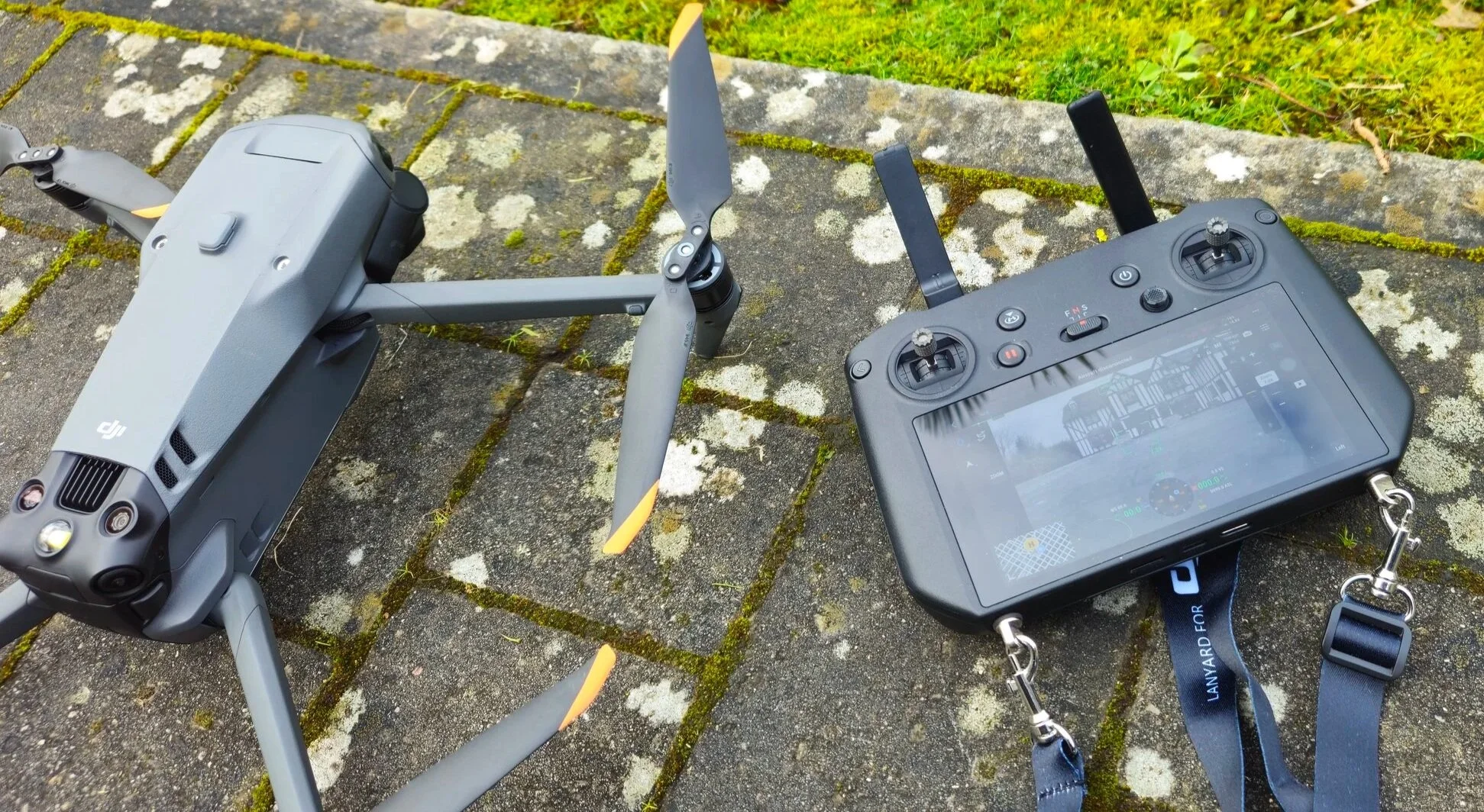
DJI Drones: High-resolution aerial scanning and imagery for façades, rooftops, and large external areas, removing the need for scaffolding or disruptive access.
Together, they provide a seamless internal-to-external dataset — feeding directly into BIM-ready models, 2D plans, and digital twins.
Key Benefits of the Combined Approach
Complete Coverage: Every corner of a building — inside and out — documented in one consistent dataset.
Safer Surveys: Drones remove the need for working at height or costly access equipment.
Faster Delivery: Projects completed in hours, not days, reducing disruption for residents, staff, or tenants.
High-Accuracy Outputs: Point clouds, digital twins, and CAD drawings that are precise and reliable.
Versatility: Ideal for housing estates, offices, schools, leisure facilities, and historic sites.
Real-World Applications
We’ve deployed this combined workflow across a range of projects:
Residential estates: capturing internal layouts alongside roof structures and façades.
Offices and leisure facilities: scanning interiors with NavVis VLX 3 while drones document external elevations.
Heritage assets: surveying fragile or inaccessible areas safely and with minimal disruption.
The result is a single, unified dataset that saves time, reduces costs, and provides clients with confidence in their records.

Why Airey Miller Surveys?
Our team blends cutting-edge technology with sector expertise in housing, education, heritage, and commercial environments. By combining NavVis VLX 3 and DJI drones, we deliver outputs that support:
Building Safety Case documentation
Golden Thread compliance
Retrofit and net zero programmes
Long-term facilities management
Accurate data isn’t just a requirement — it’s the foundation for smarter, safer, and more efficient building management.
Contact Mark Humphreys or visit our scanning and digital recording services page to discover how we can support your next project.