
Surveying Historic Naval Vessels: Innovative Approaches to Preservation
Surveying historic naval ships is a complex challenge, especially when they are over 100 years old and feature intricate layouts and delicate heritage materials. These vessels contain confined spaces and areas that are difficult to access using traditional survey equipment.
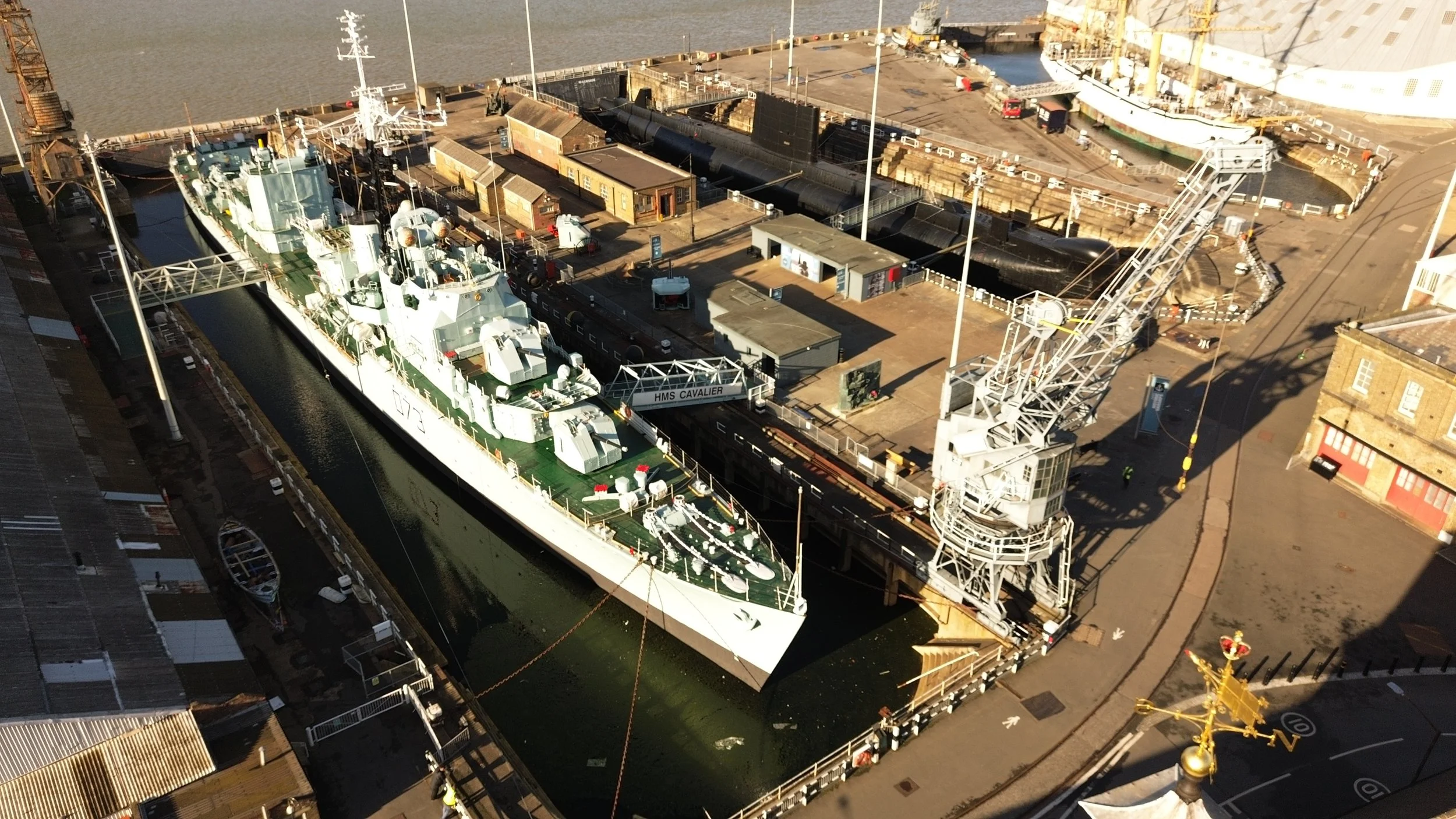
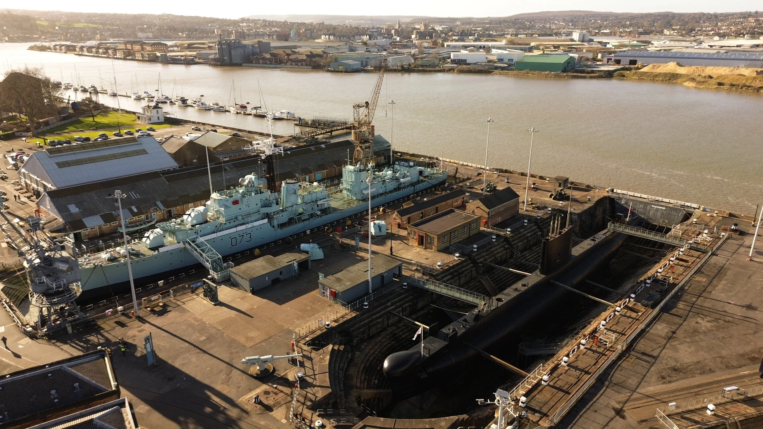
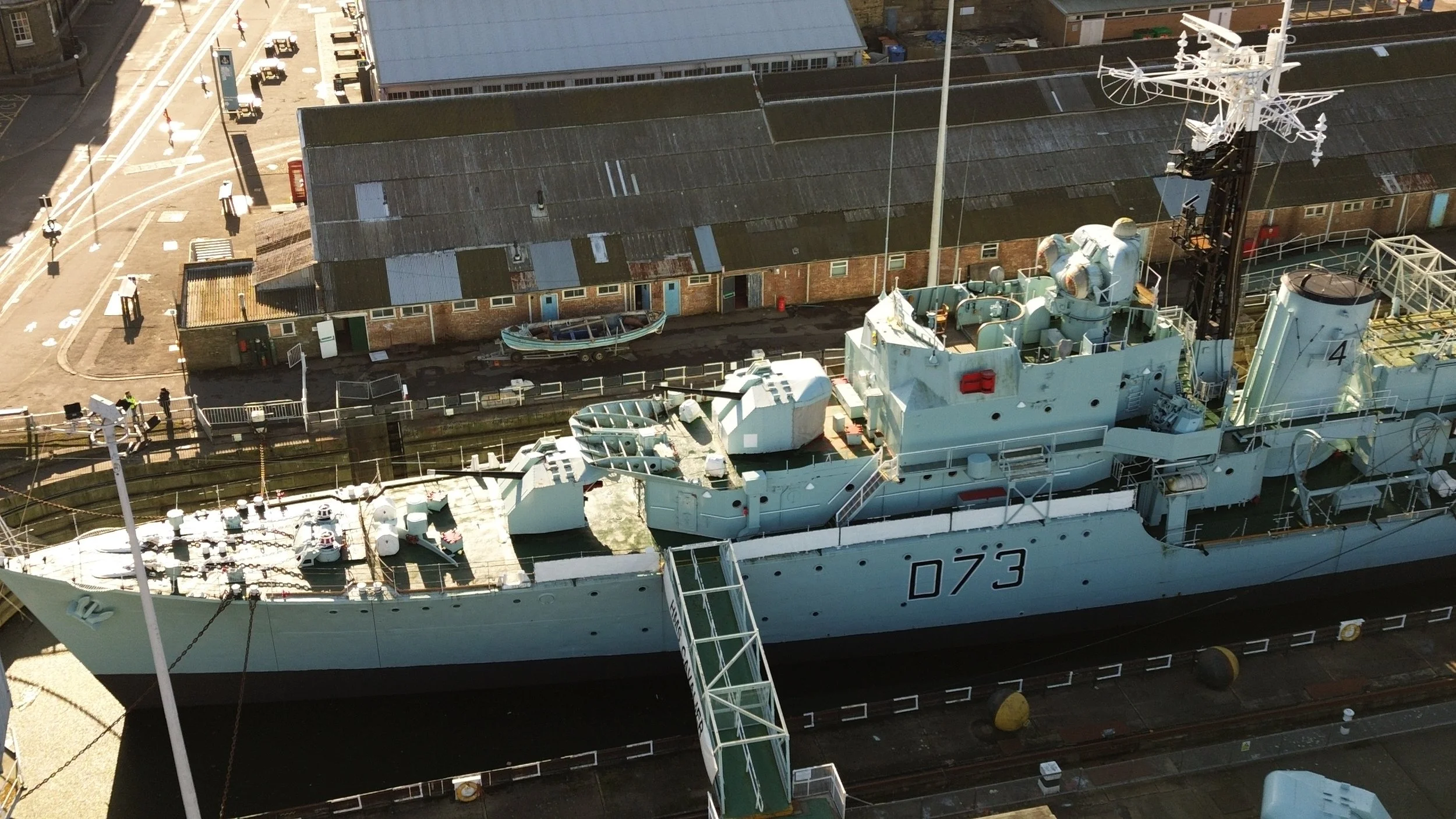
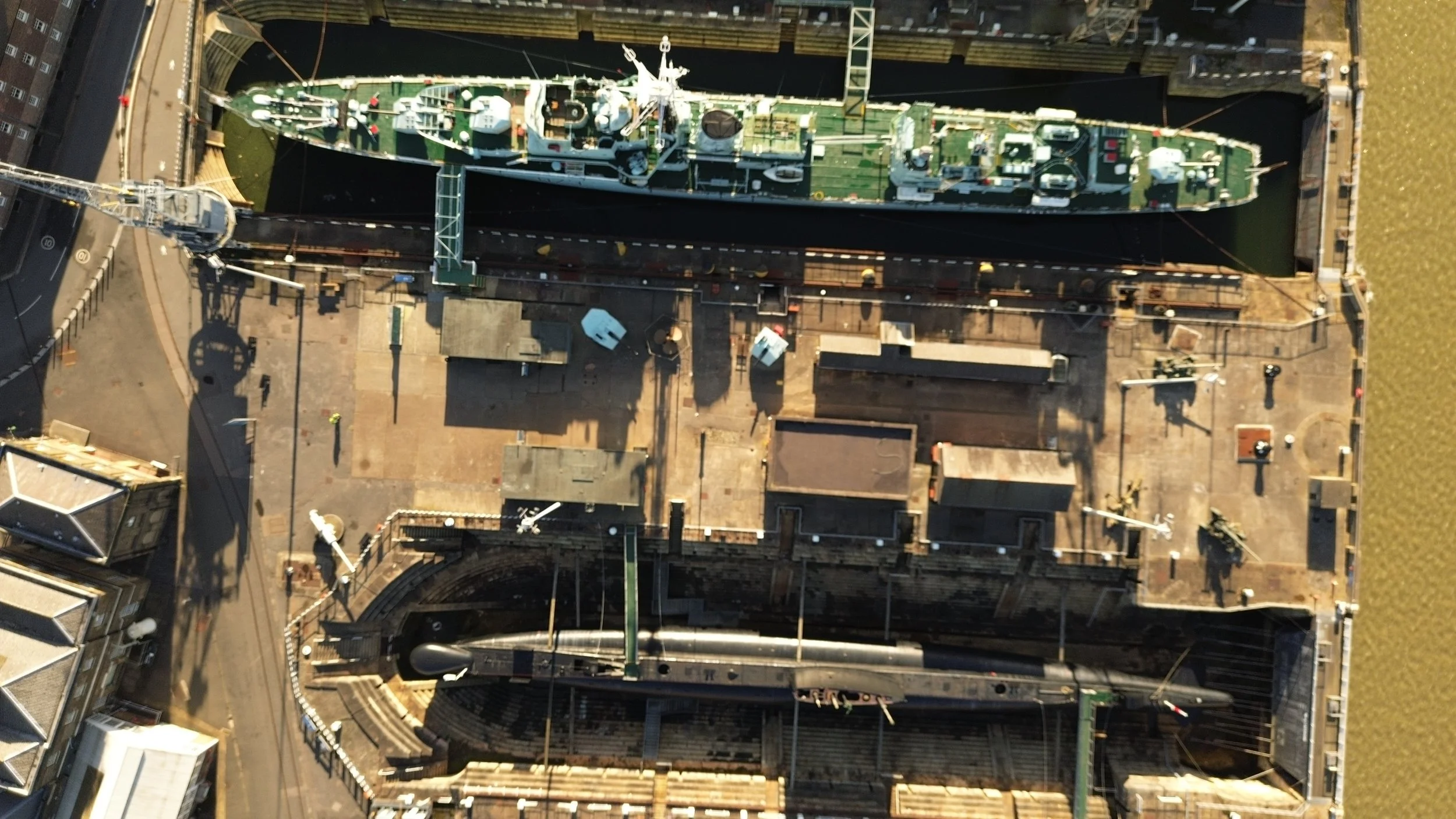
At Airey Miller Surveys, we undertook the scanning of three historic ships at the Historic Dockyard, Chatham. Our objective was to explore mobile LiDAR technology’s capability to produce accurate 3D digital twins, elevation drawings, and 2D floor plans that could support future conservation and maintenance efforts.
Why Surveying Historic Ships Is So Complex
Unlike modern buildings, naval vessels are characterised by compact rooms, curved structures, and tight hatches. Traditional tripod-based laser scanners face challenges in these environments due to restricted access and line-of-sight limitations.
Surveying such confined and intricate spaces requires adaptable scanning technology combined with precise planning to ensure comprehensive data capture without disrupting the vessels or ongoing preservation.
Our Solution: Mobile SLAM Scanning in Action
Utilising SLAM-based portable LiDAR scanners, we surveyed each ship efficiently—scanning up to 3,000m² per hour with accuracy within 5mm. The portable scanner’s compact size allowed it to navigate narrow access points and confined spaces that would be inaccessible to traditional systems.
Our live feedback interface helped identify and address on-site challenges in real-time, such as issues caused by reflective or absorptive surface finishes (for example, anti-radar paint), avoiding delays or repeat visits and maintaining data quality.
What We Delivered
High-resolution 3D digital twins for each vessel
Accurate 2D floor plans and elevation drawings
Data processed promptly for CAD integration
Outputs compatible with VR walkthroughs and online access platforms
Deliverables supporting restoration planning, fire strategy, and educational uses
Case Study: Historic Dockyard Chatham


Precise data enabled re-creation of no-longer-manufactured components for on-site fabrication
Complex internal spaces scanned with multiple passes for clarity
VR-ready virtual walkthroughs created to expand digital engagement and accessibility
Supported long-term conservation goals and emergency response planning
Supporting Maritime Heritage Through Innovation
Our work at Chatham Dockyard demonstrated how mobile scanning technology can provide fast, safe, and detailed documentation of historic vessels. From facilitating replication of rare components to enabling immersive VR experiences for inaccessible areas, this approach highlights how digital surveying can help preserve maritime heritage without impacting the past.
Planning a conservation, heritage or museum project?
Contact Mark Humphreys or visit our scanning and digital recording services page to discover how Airey Miller can support your project with precision, innovation, and care.